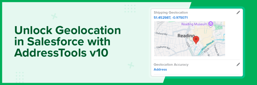
Geocoding in AddressTools Premium is the process of returning longitude and latitude values alongside a verified postal address. It enables you to place records on maps, calculate distances, support territory management, and automate location-based tasks within Salesforce®.
Key benefits
Enrich verified addresses with accurate latitude and longitude.
Enable reliable distance-based pricing and service coverage.
Provide clearer mapping and more precise territory planning.
Support smarter routing and travel-calculation tools.
Improve field scheduling through proximity-based routing.
Works on any custom object and custom address field.
Potential use cases
Routing: Optimise routes with accurate coordinates.
Field service: Reach the right location, faster.
Location-based pricing: Use geocoded data to apply distance and region-based pricing.
Automation: Trigger actions, assign territories, and automate using geocodes.
How AddressTools v10 supports Geocoding
AddressTools v10 introduces geolocation as an add-on capability, allowing you to return latitude and longitude values automatically when an address is verified.
Coordinates returned alongside verified address data.
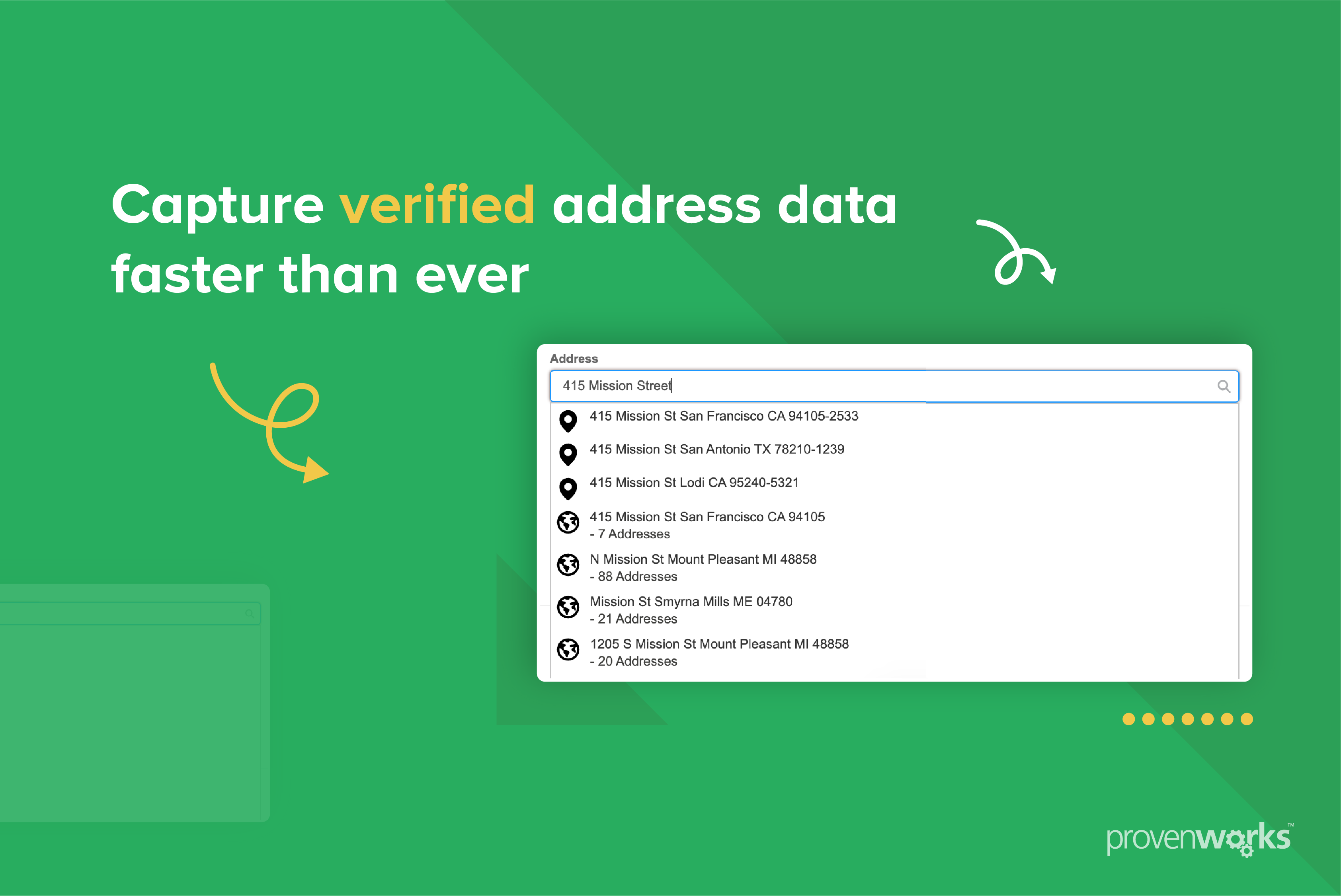
Works within your existing address verification process.
Supports mapping, routing, and proximity-based use cases.
Enables more advanced, location-driven workflows.
Want to find out more about Geocoding in AddressTools v10?